On my trip from Seattle to Chicago I took a few days off the beaten path to travel backroads. I genuinely appreciate the Interstate highways because they are often the easiest way to get over the mountains and offer the path of least resistance when towing 6000 pounds. By the time I got to Rapid City, SD, I was ready to find some back roads.
My first stop was near Chamberlain, SD at an Army Corps of Engineers campground on the Big Bend Dam of the Missouri River. If you read my blog regularly you know I never miss a chance to stay at an ACE park because they are so well maintained, are affordable with my National Park Senior Pass, and are on a body of water. Check off ALL the boxes for me. This park is named Left Tailrace – no clue as to the origin. But it sits on a big bend of the MO River where Lewis & Clark traveled. To get to the campground I crossed over the top of the dam with spectacular views, took a very tight hairpin curve to the right to take a road down to ground level. Not an easy turn with the trailer but I managed. I had a nice spot near the boat launch and walked over to enjoy the view of the river. The camp is actually on an island in the river with the dam built to one side. A fun place to stay and beautifully situated about 20 miles away from I-90.
The next day I stayed on the backroads, driving through cornfields and other agricultural terrain. It is quiet and peaceful out in these places. I had good weather and fair winds but a decided lack of gas stations! Luckily, I had cell phone signal to find places to fill up. Back roads mean small towns and few amenities. I had to double back on a secondary road to get to a small town so I could pull into the Casey’s. Gas stations on the Interstates are usually large and easy to get in and out with a trailer (unless there is a lot of traffic). Small towns are not always as accommodating. Low roofs over the pumps, pumps too close to low roofs on the store, or too tight entry or no easy exit can stymie my fueling plans. Luckily the Casey’s and another place I stopped that was waaaaaay out in the agro-boonies, fit my trailer.
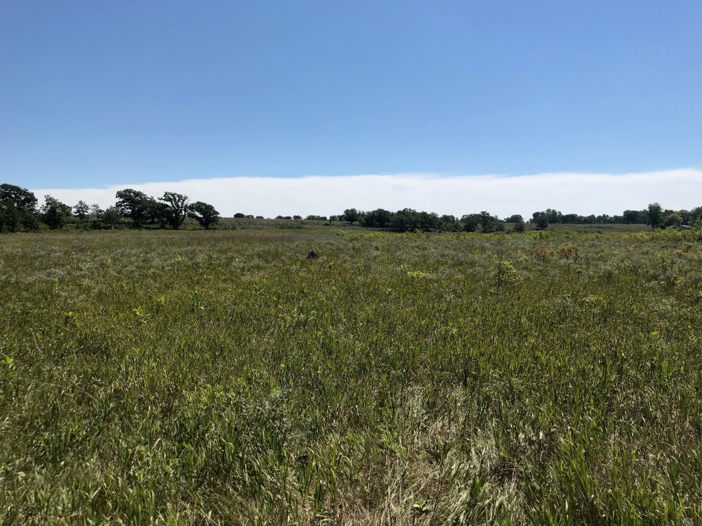
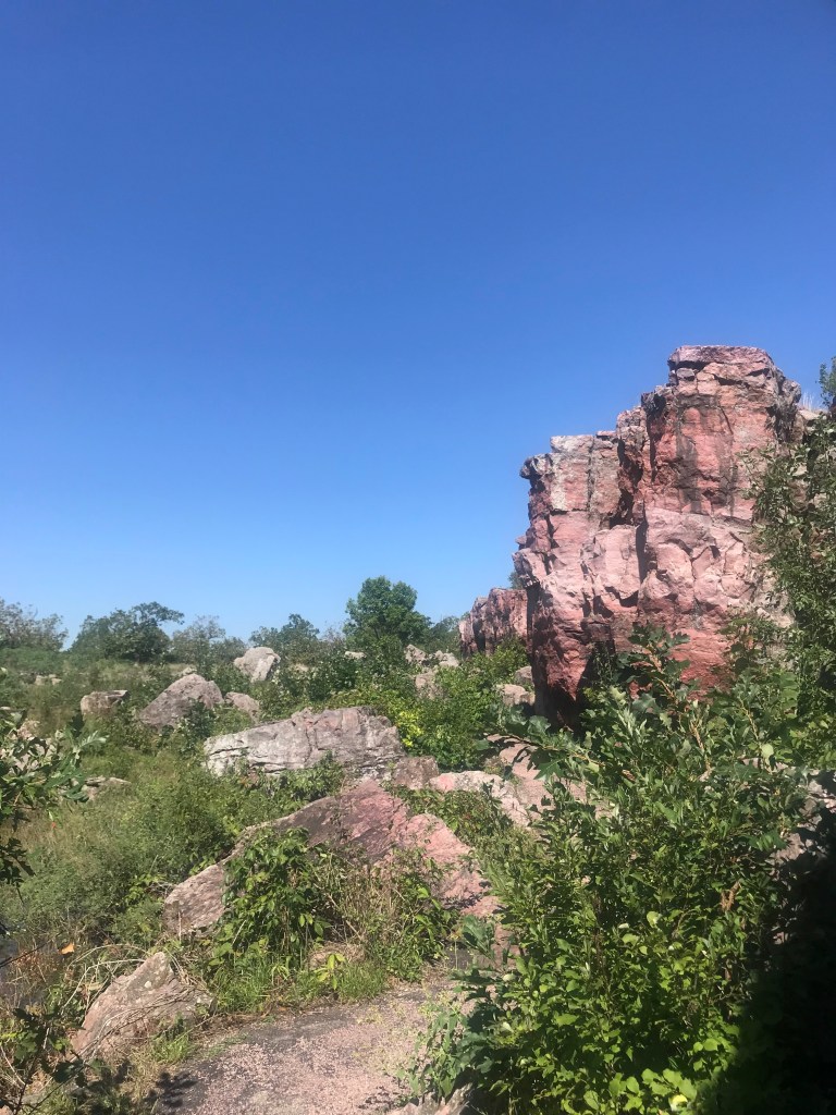
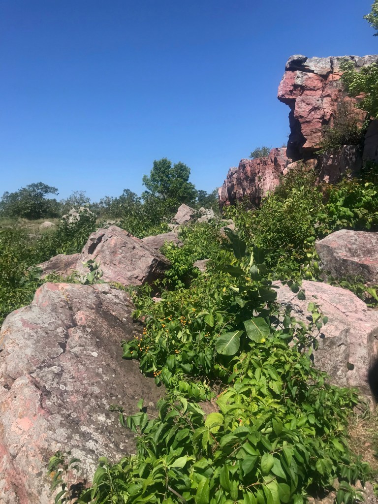
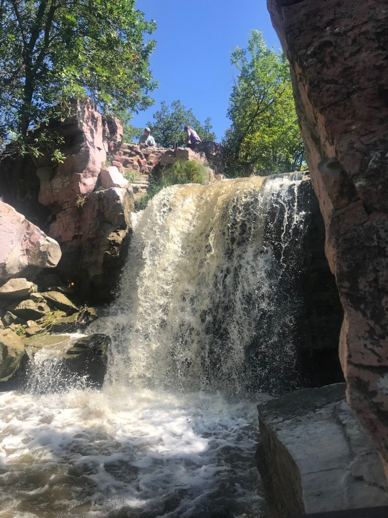
My destination this day was a national monument in SW Minnesota. SD, MN, and IA meet near Sioux Falls and Pipestone is north and east of there. I headed due east from Left Tailrace and after a few hours I crossed into MN and pulled into this tiny National Park Service maintained place in the tiny town of Pipestone. This is a unique stop that a friend of mine called my attention to. It is a quarry location where Native Americans have carved out stone and clay used for their ceremonial pipes. We may refer to them as “peace pipes” because they were used during treaty and truce signings. The tribes have mined this material by hand for hundreds of years and the pipes have been part of Great Plains indian tribe culture for thousands of years. Today you can walk around the area and see the quarries that are used as well as the natural area that looks as it did hundreds of years ago. There is a large tall grass plains area, many types of plants and flowers, granite cliffs, and a waterfall and creek. Permits are required to mine the stone and only hand tools may be used. Native American tribe members are the only people allowed to have permits to quarry. The day I was there I did not see any quarriers but I did see artisans shaping the soft stone into art pieces and pipes. They were gracious to me in explaining their process and let me watch them work. The land is considered a sacred place and visitors are asked to treat it with reverence. You can see the prayer cloths hung on the trees. I saw the same thing at Devils Tower in WY.
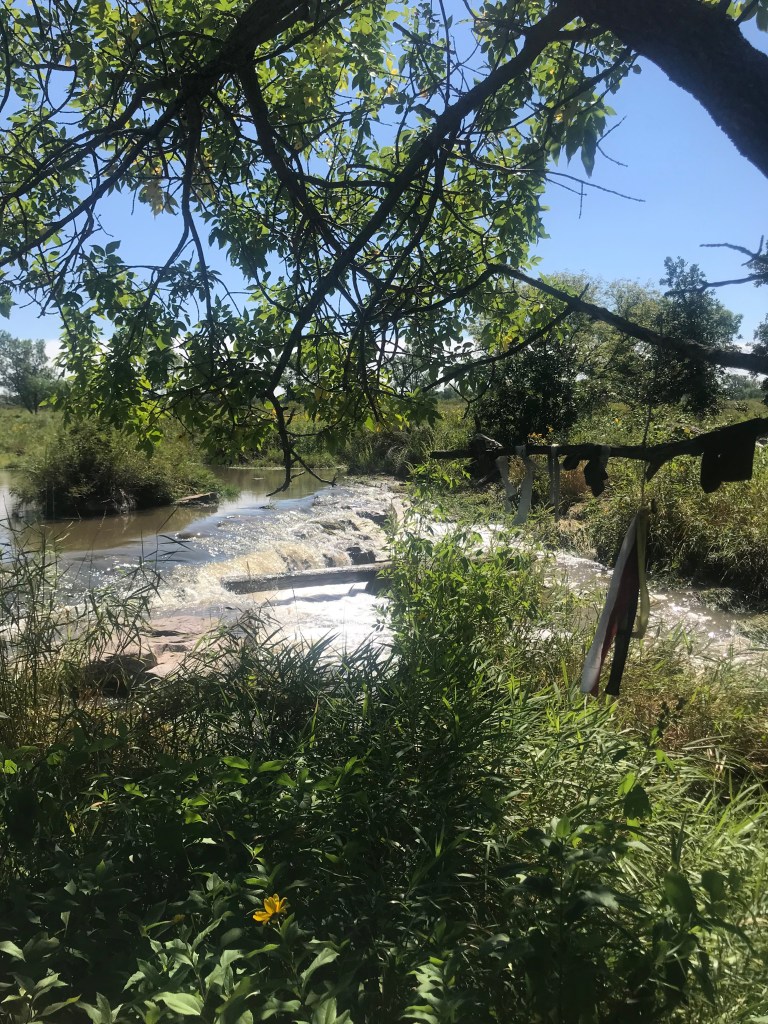
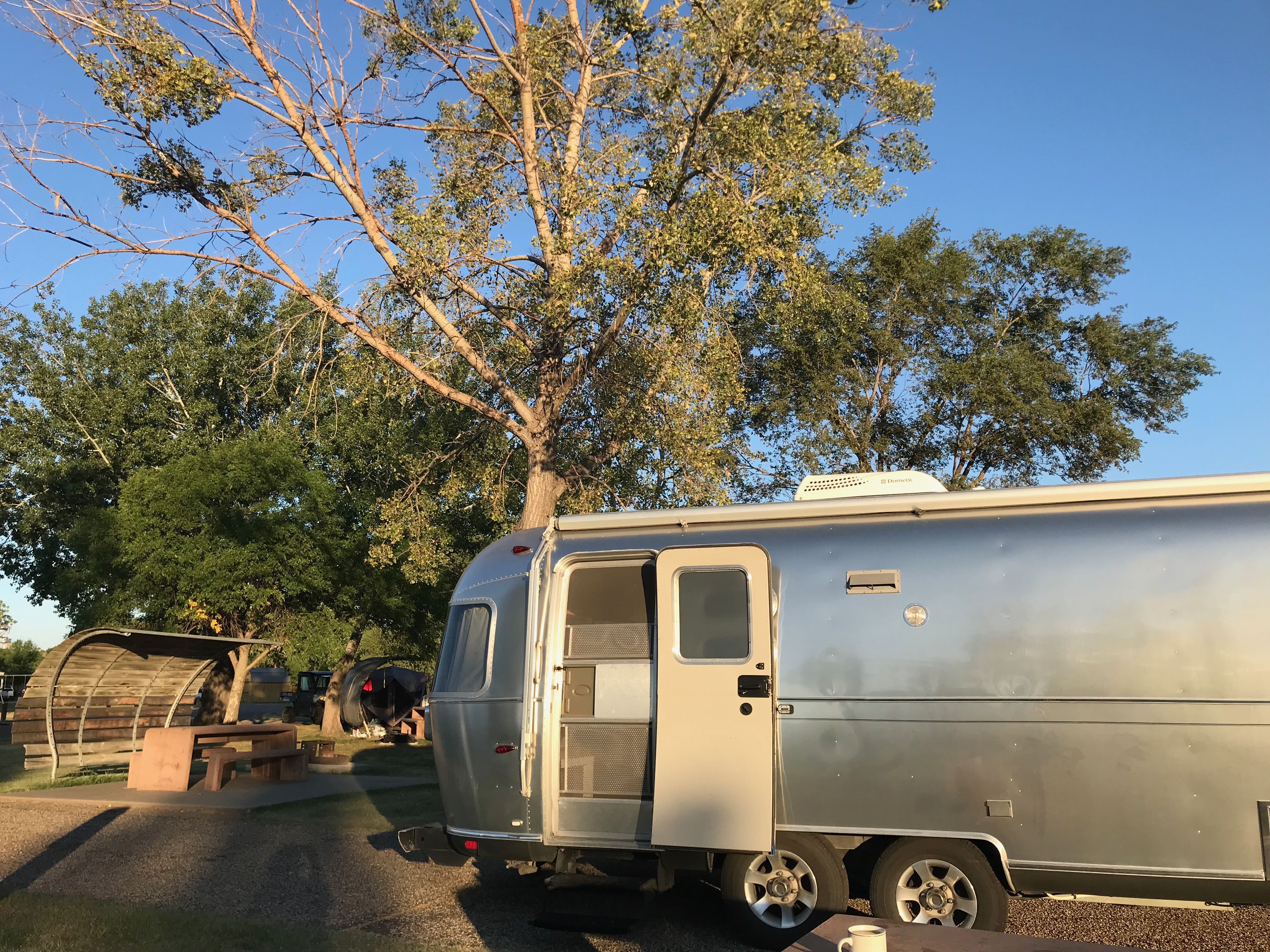
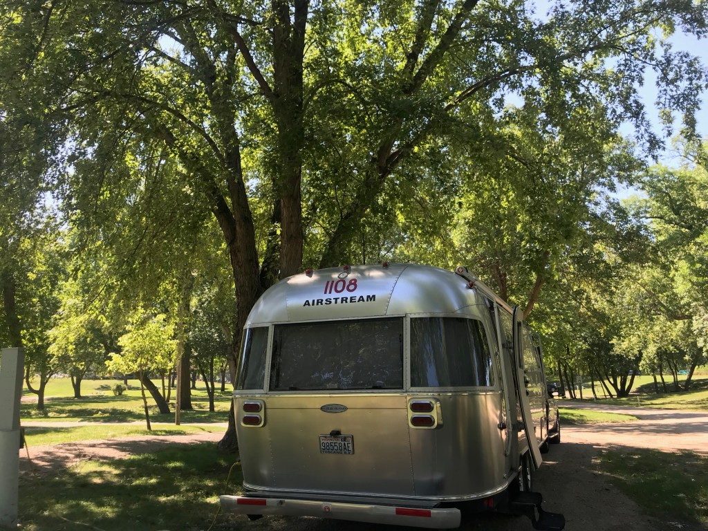
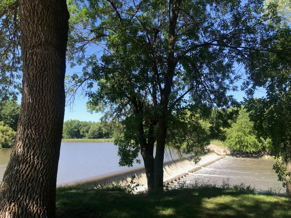
I moved on from Pipestone traveling south into Iowa. I had scouted out a few small city parks and landed in Rock Rapids. The backroads led me through a number of small towns and signs pointing to turns to get to small towns that are off the “main road.” Rock Rapids is a typical small place and Island Park was popular with the townsfolk. The municipal pool was in full use, the picnic pavilion was hosting a birthday party, and the campground (consisting of six back-in sites with electricity) had emptied out on this Sunday afternoon. I picked the prettiest site on the end and got settled. I could hear the rapids and walked over to a paved trail to investigate. The walkway sits on an elevated site and below is the river which includes a man-made waterfall, thus producing the sound of flowing water. The park emptied out by the early evening. The breeze from the water seemed to slow and stop as twilight fell. Then…the smell. Rural Iowa has a smell – manure, peat, animals, chemicals, manufacturing, come together to create an unpleasant odor. It reminds me of a paper mill. I hadn’t noticed it when the breeze was blowing, but by sunset it was full-on smelly. I closed my windows and the temps had cooled after sundown so it wasn’t a problem. The site was only $15 and I had electricity – a bargain for sure. I just never know what I’ll get, though.
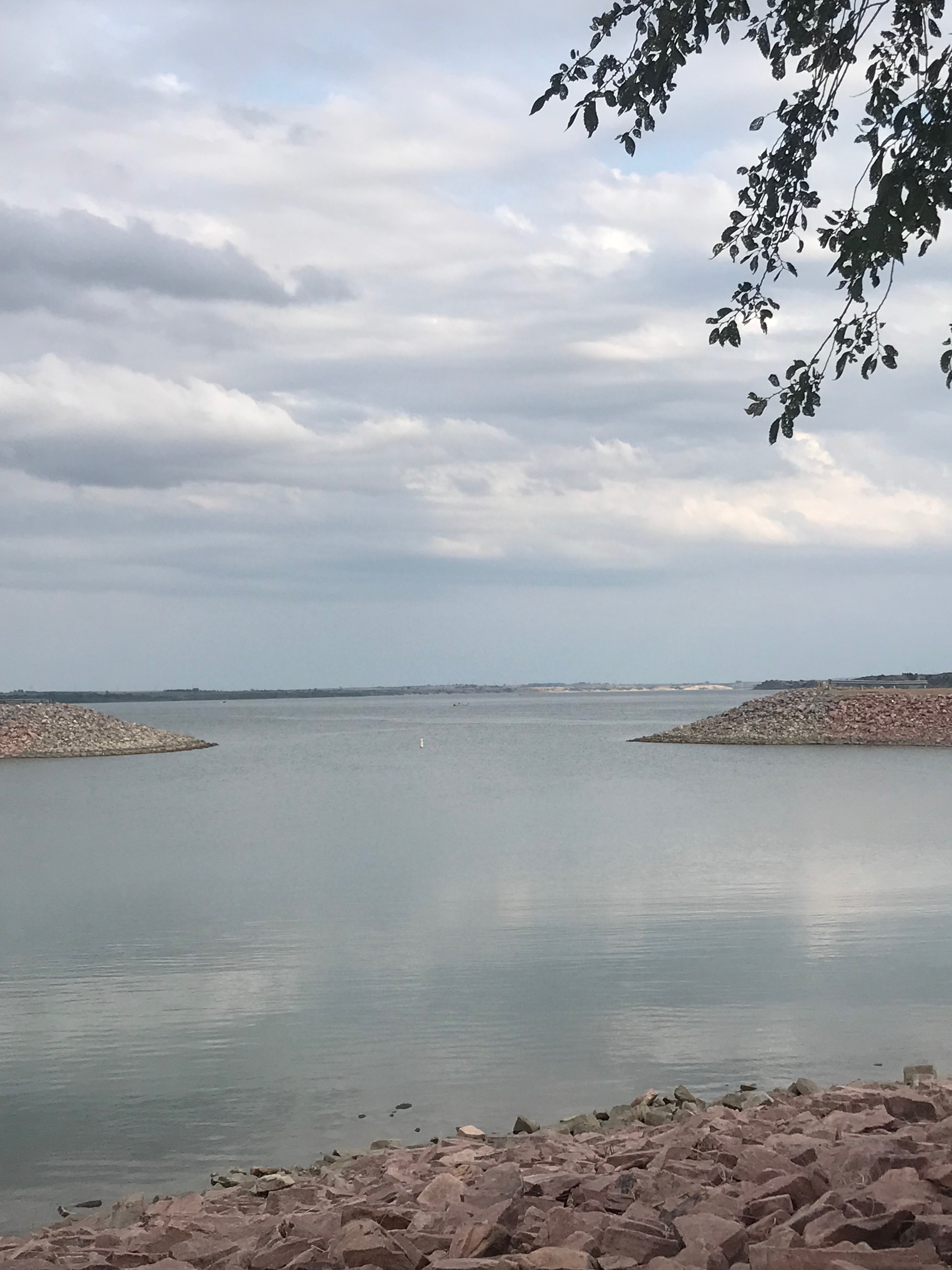
The next morning the smell had abated some and I headed out for Des Moines. I stayed on some back roads and then some US highways heading south towards my next campground. More cornfields, more small towns, a few bigger towns along the divided roadways and more gas stations, lol. I finally got to my Army Corps campground – Cherry Glen on Saylorville Lake. It is located north of Des Moines and I-80, west of I-35. Another Airstream couple recommended it to me and it did not disappoint. Huge maple and oak trees and a beautiful lake that was larger than I could see across from shore. While the campground and lake are secluded, the suburbs and retail are only a few miles away – along with the Interstate that took me to Chicago. I did not enjoy that leg of the trip, dodging trucks and cars that like to weave between the trucks. But I-80 got me where I was going.
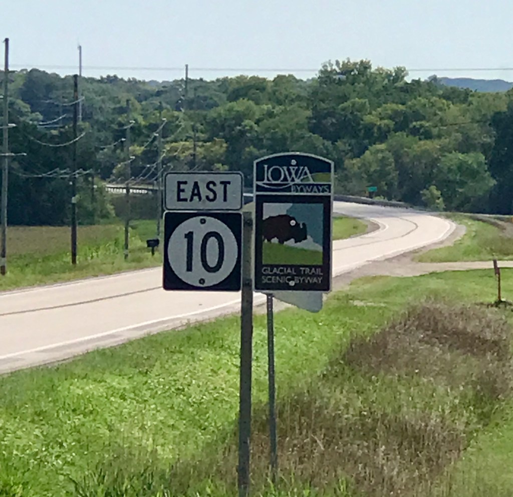
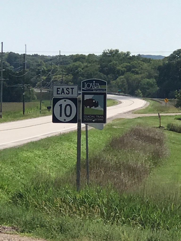
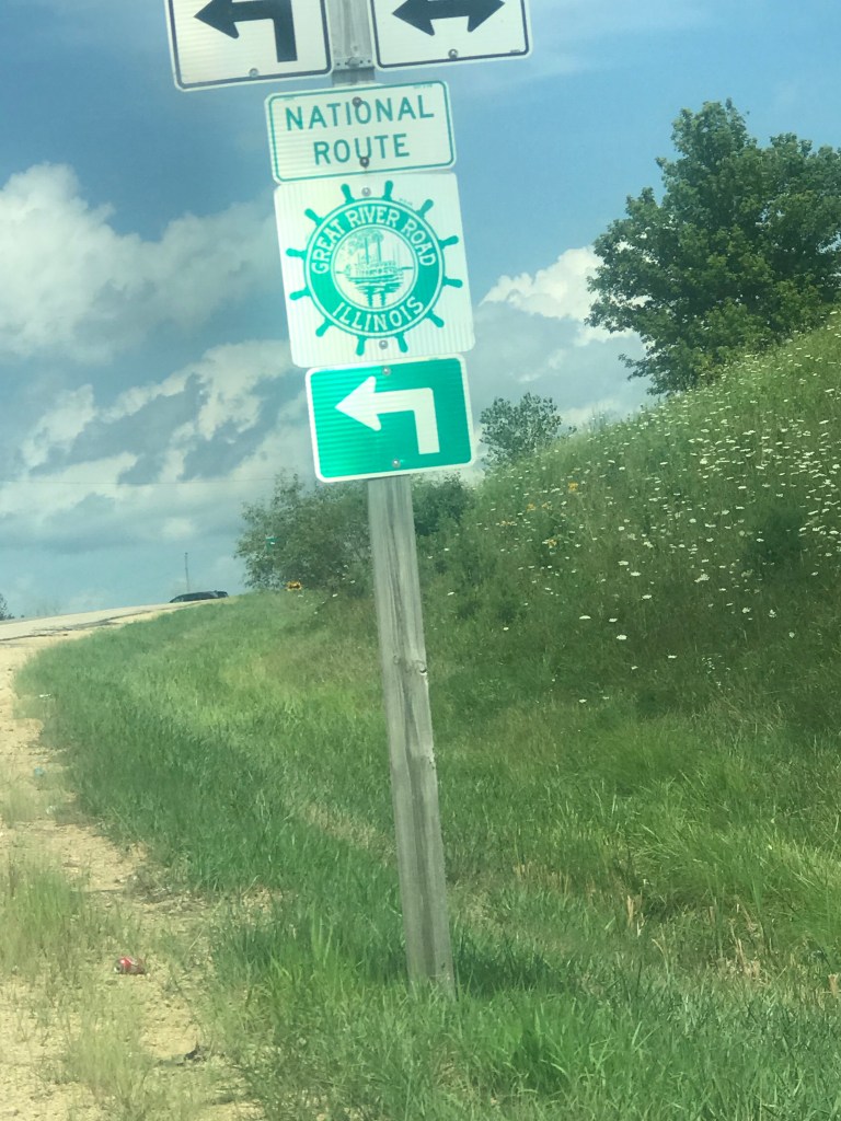
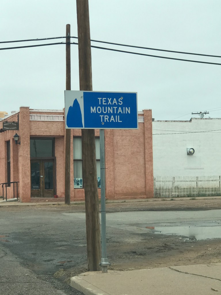
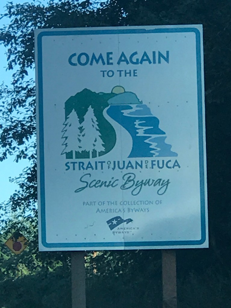
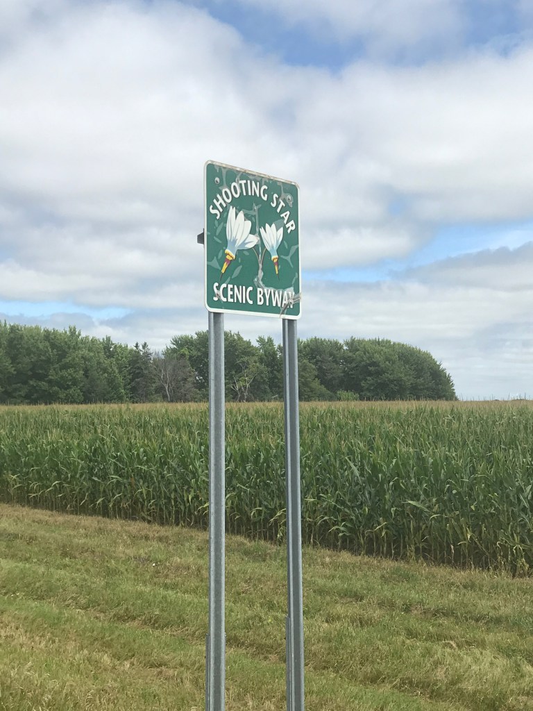
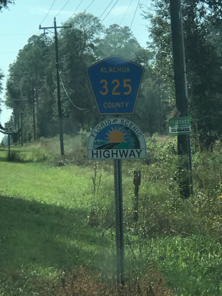
I’ve taken back roads before and so far, without incident. Google sometimes takes me on weird routes and I’ve learned to preview the route now to avoid being taken through subdivisions, down dirt roads, and in viaducts that may be too low for my trailer. I have come to enjoy the scenic byways – often named for local lore. I took this picture of the most recent byway in Iowa – the Glacial Trail. I’ve also been on the great River Road on the MS River, the Shooting Star Byway in Minnesota, Strait of Juan de Fuca Byway on the OP in Washington, Texas Mountain Trail in Van Horn, Florida Scenic Highway, and more that I didn’t capture signs for. I highly recommend getting off the beaten path to explore the back roads. It’s a wonderful experience!

Leave a comment