
I left Seattle and headed south to Portland and picked up I-84 along the Columbia River heading east. Most people head west of Portland to view the River gorge as it empties into the Pacific Ocean. I’ve not seen that and yet, I wanted to roll along the river as it comes out of Washington and heads west. Officially, it is called the Columbia River National Scenic Area and sits at the northern base of Mt. Hood. It’s aptly named for the wide variety of outdoor activities you can do. There is boating, wind/kite surfing, paddle boarding, and kayaking on the river. There are numerous trails to hike along the river and in the forests and state parks. There are a number of waterfalls to visit – the most famous being Multnomah Falls which can be seen from the Interstate. Fishing also is a major source of recreation and hunting is allowed in certain places during designated seasons. Always check for license requirements for hunting, fishing, and boating.

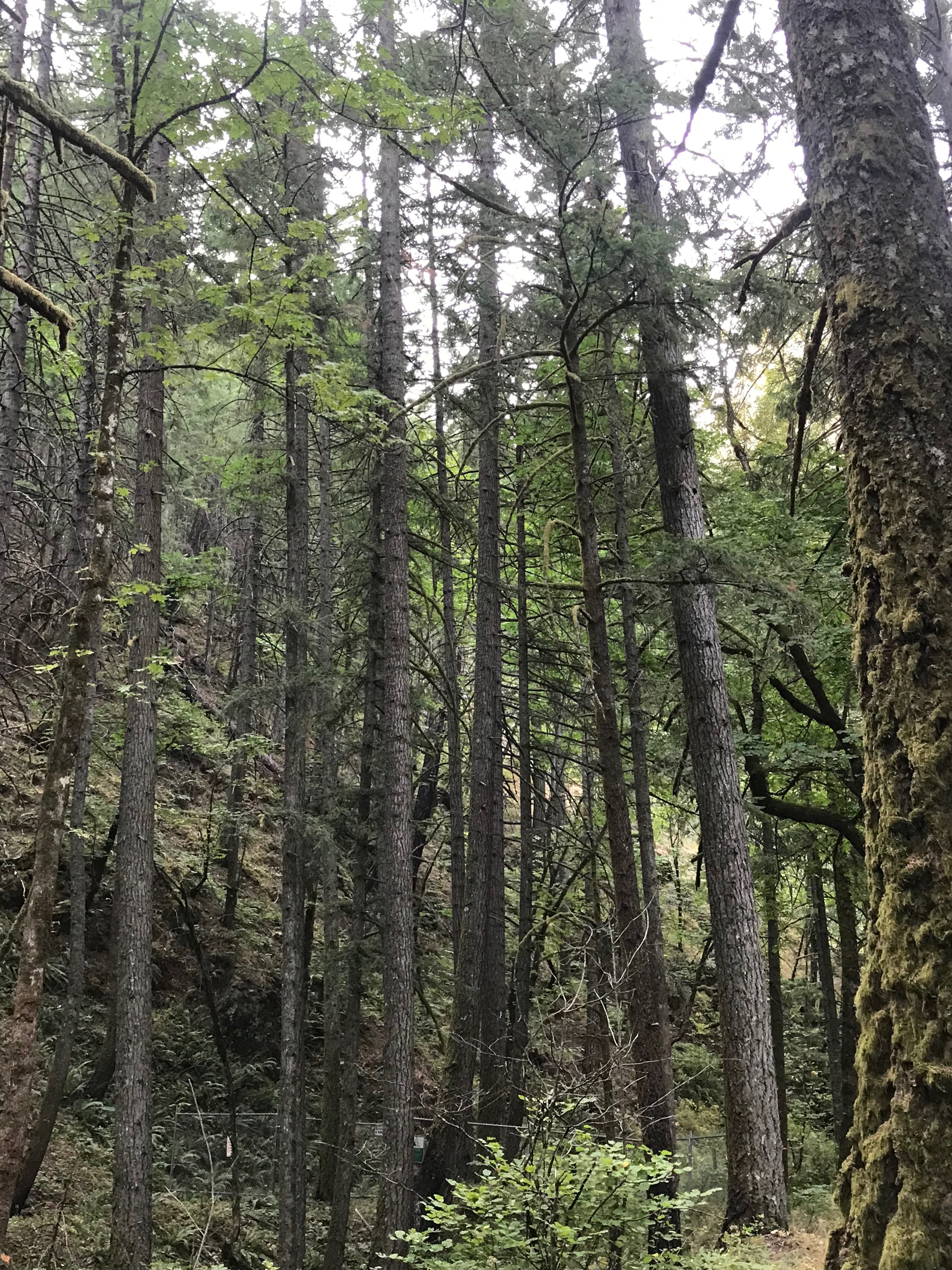
I didn’t have a lot of time to spend in the area, but spent one night in the USFS Wyeth Campground. It sits just off the Interstate in a densely forested area. There is no road noise here. You can take several trails from here including the Historic Columbia River Highway Trail from Wyeth to Viento State Park, which is paved for bikers, the Wyeth trail inside the campground goes along Gorton Creek and from which you can hike to Emerald Falls and Gorton Falls. While not on the scale of Multnomah Falls, they are beautiful places to see. The campground itself has a storied history. It was first used as a CCC campground and later as a camp for conscientious objectors in World War II. It’s a no hook-up park (typical for Forest Service campgrounds) with large and well-spaced sites, a camp host, and a bath house. Car and van campers, tent campers, and RVers all found a welcome refuge here.


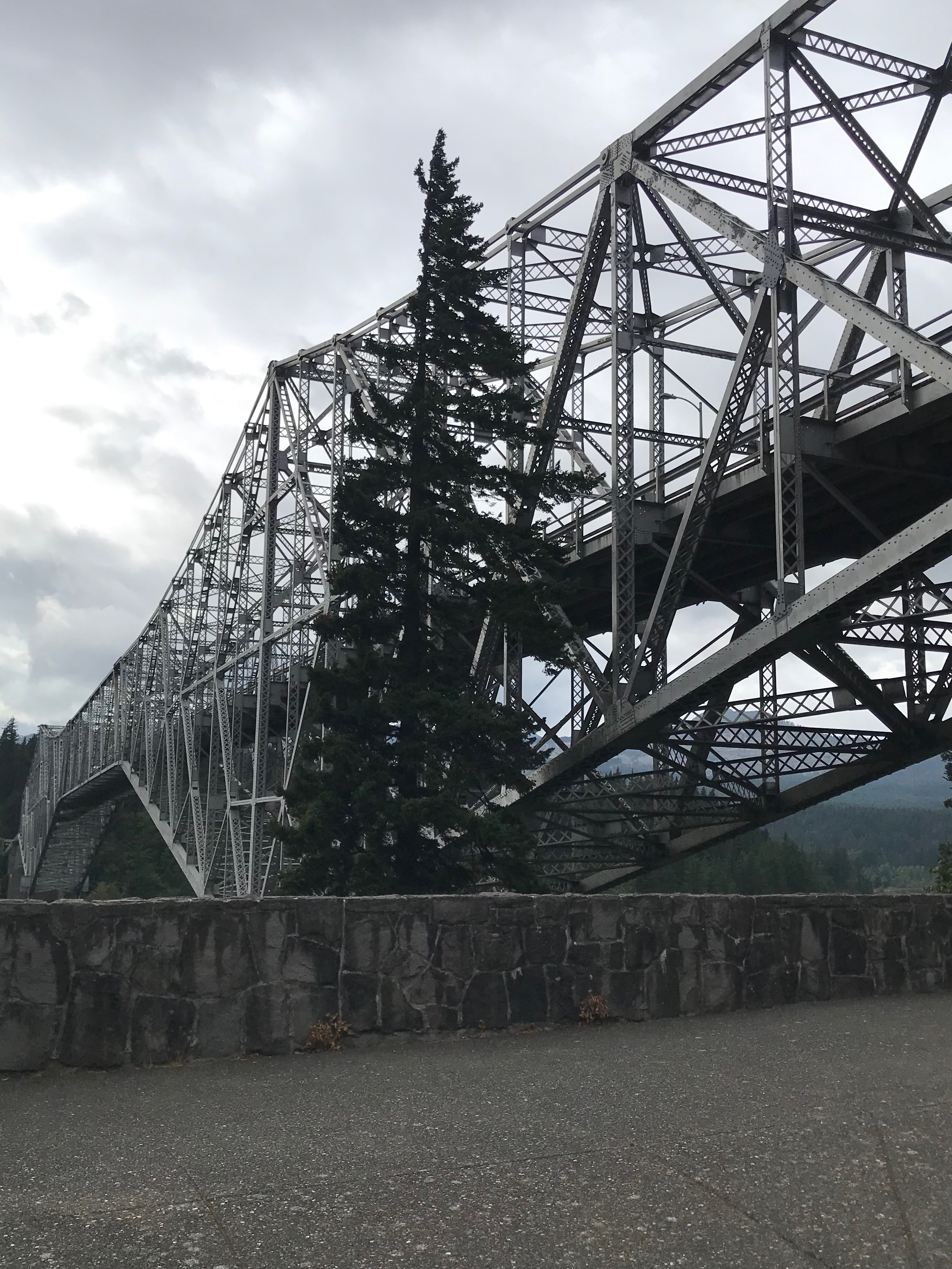
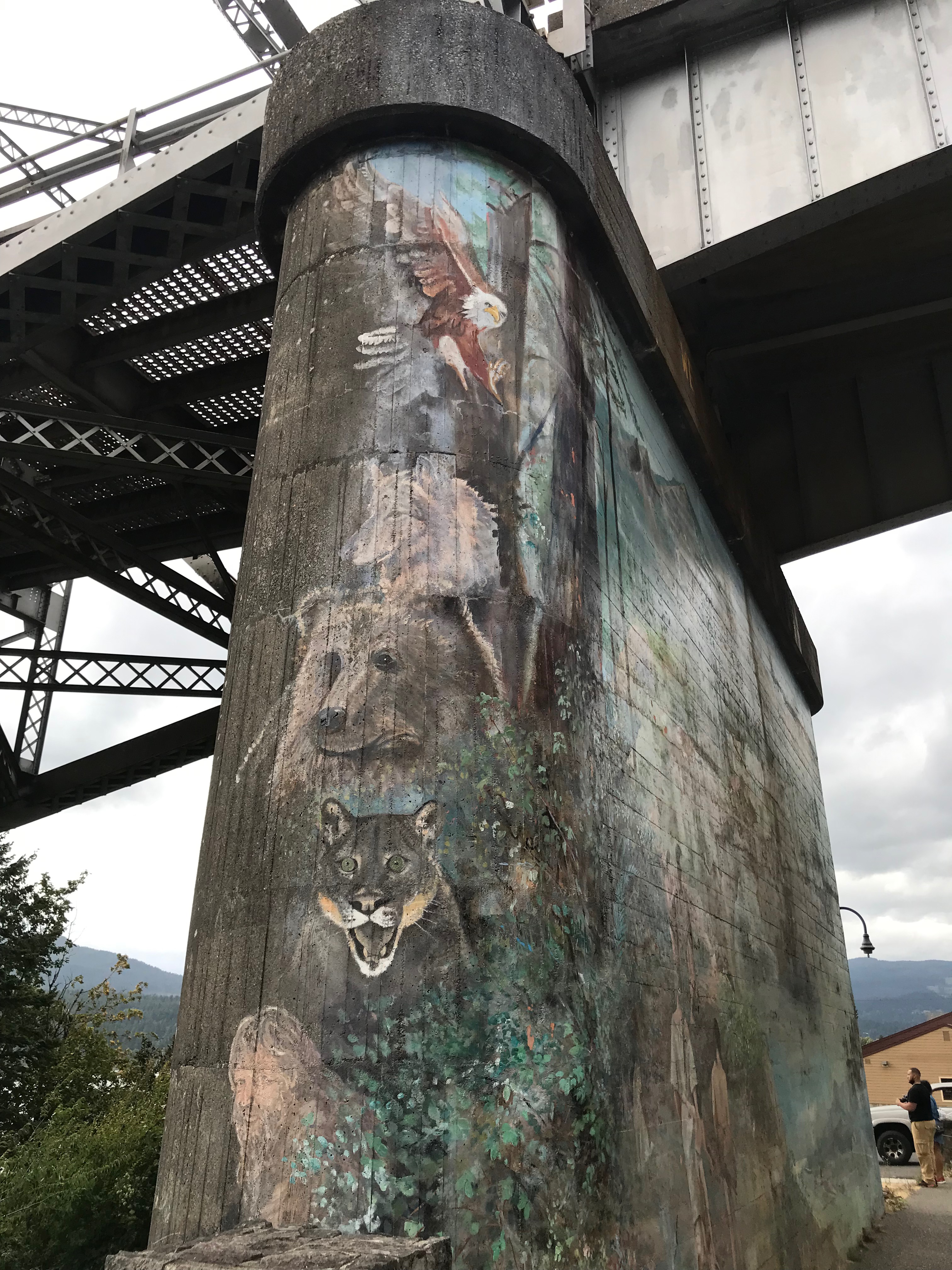
The town of Cascade Locks is a few miles west of the campground on the Interstate and is well worth the visit. Here you can access the Historic Columbia River Highway State Trail from the Cascade Locks Trailhead that sits on the Oregon side of the river at the foot of the Bridge of the Gods. There are restaurants, hotels, river access at the marina, viewing spots for watching those on the River, the Locks, a Sternwheeler tour boat, a campground, and the Bridge. The scenery is breathtaking and I could have spent much more time here than I did!
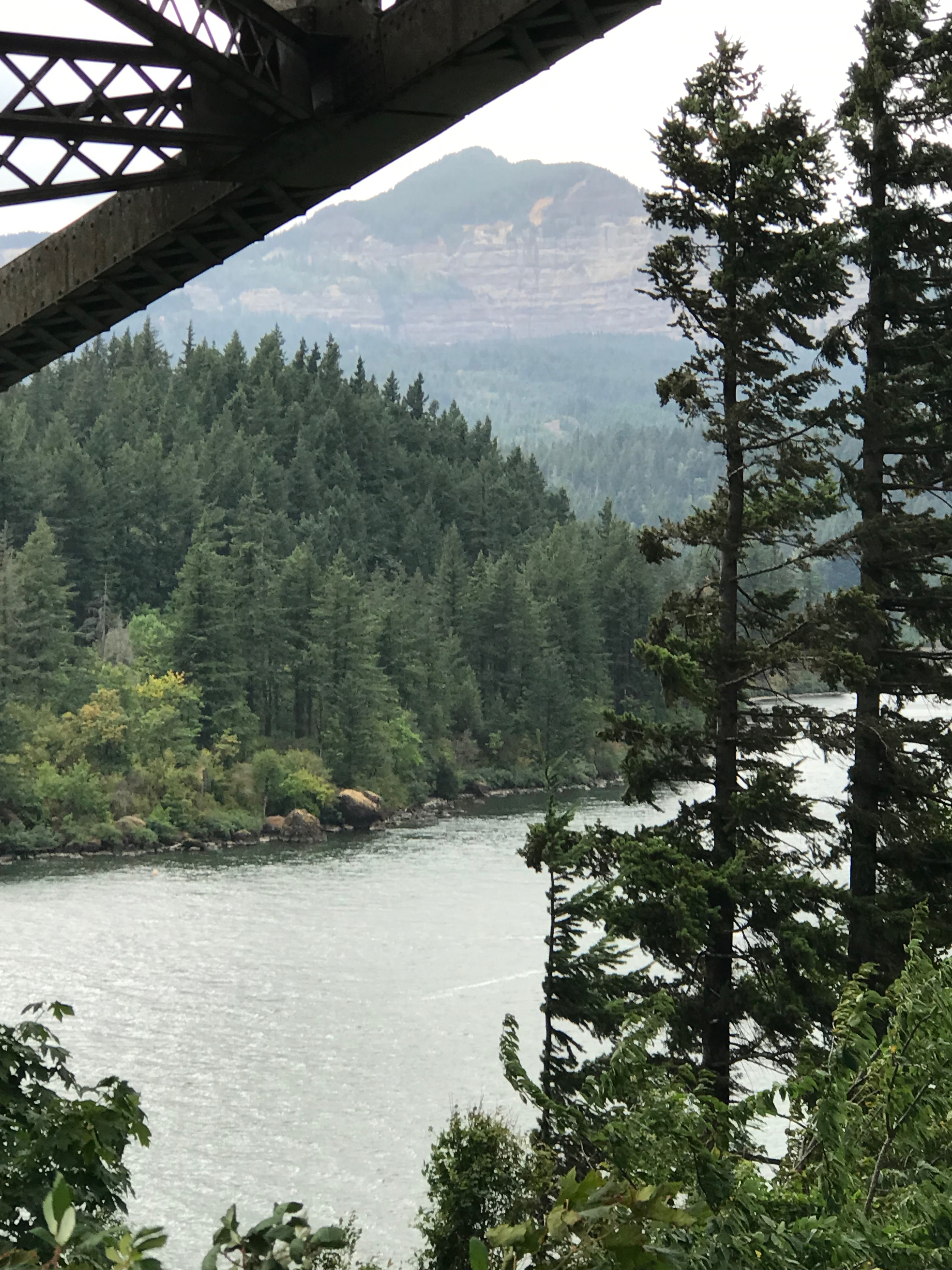
The Bridge of the Gods is a steel structure that looks like it was built from an Erector Set. It was built in 1926 and the span is 1800 feet long and 140 feet high. It is built for vehicles, bicycles, and pedestrians and there is a $2 toll for cars and trucks to use it and $1 per axle over two. It crosses the Columbia River between Oregon and Washington.

There are numerous Oregon State Parks along the Interstate that provide all kinds of access to wildnerness hiking, trails to waterfalls, camping, and day use areas. Multnomah Falls is actually run by the US Forest Service and is by far the most popular location which makes it difficult to access. During the summer you must have a timed reservation to access the falls from 9am to 6pm. After 6pm a reservation is not needed. There is a parking area between the eastbound and westbound lanes of the Interstate. You can see the 620 foot waterfall from the road and that parking area. The trail to the lower falls is the most popular and the easiest. At the base you can visit the historic lodge and dining rooms, go to the visitor center, and view the entire falls. A paved path will take you to the walking bridge that goes across the lower falls. To get to the upper falls, you take a steep switchback hiking trail. There are many other falls along the River to view including Horsetail, Bridal Vail, and Camp Benson. I’ve barely scratched the surface of viewing spots in the Oregon Parks along the Columbia River. There also is a Cascade Salmon Hatchery to visit, west of Cascade Locks. Be sure to view the Rooster Tail rock face from the highway. It’s a state park and the rock formation is multicolored and fan-shaped, reminiscent of a rooster’s tail!
The Scenic Area officially ends near Dallesport as you head east. The landscape changes dramatically from green forests to golden scrub-brush hills and peaks. It’s as if a switch were turned. At the eastern end of Oregon the Columbia River turns North (or rather comes from the North) into Washington. It meets up with the north part of the Snake River coming out of Idaho. These historic rivers were explored by the Lewis & Clark expedition that came across the west. Throughout the west you’ll see highways, campgrounds, historical markers, and state parks commemorating their travels. I camped at Hood park which is situated where the Snake and Columbia Rivers meet. It was an amazing natural setting, through the more forested area farther west on the Columbia has far more beauty.


I am so glad I made this southern detour. It is an amazing landscape. From Hood Park I traveled back north to Spokane and then started heading east. More on that in the next installment.

Leave a comment